
State-of-the-Art drones to revolutionize surveying in slums
Edith Mupa-PCO
The Second Kenya Informal Settlements Improvement Project (KISIP2) has challenged budding surveyors to embrace modern digitization technologies to improve their skills and competence in mapping the country.
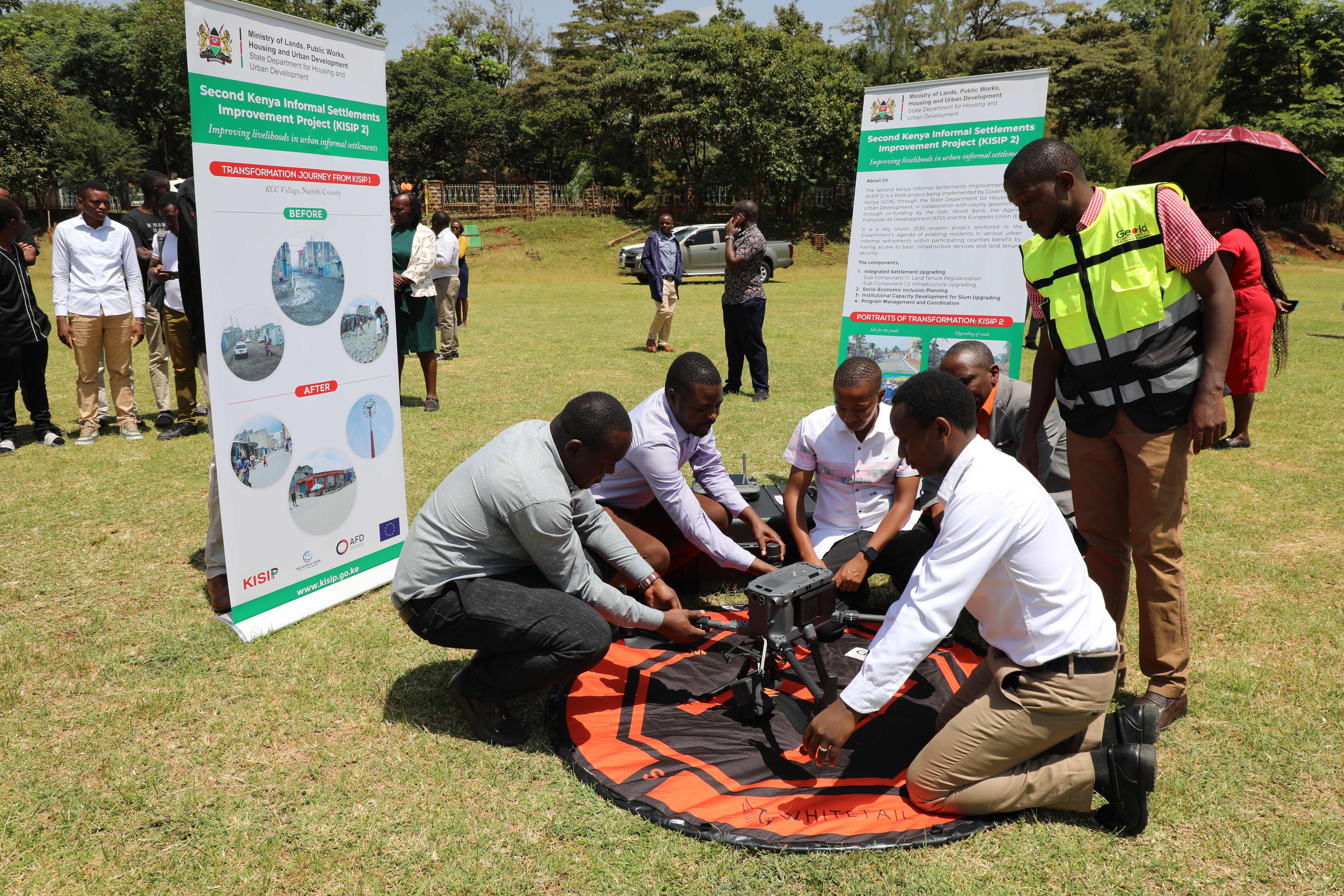
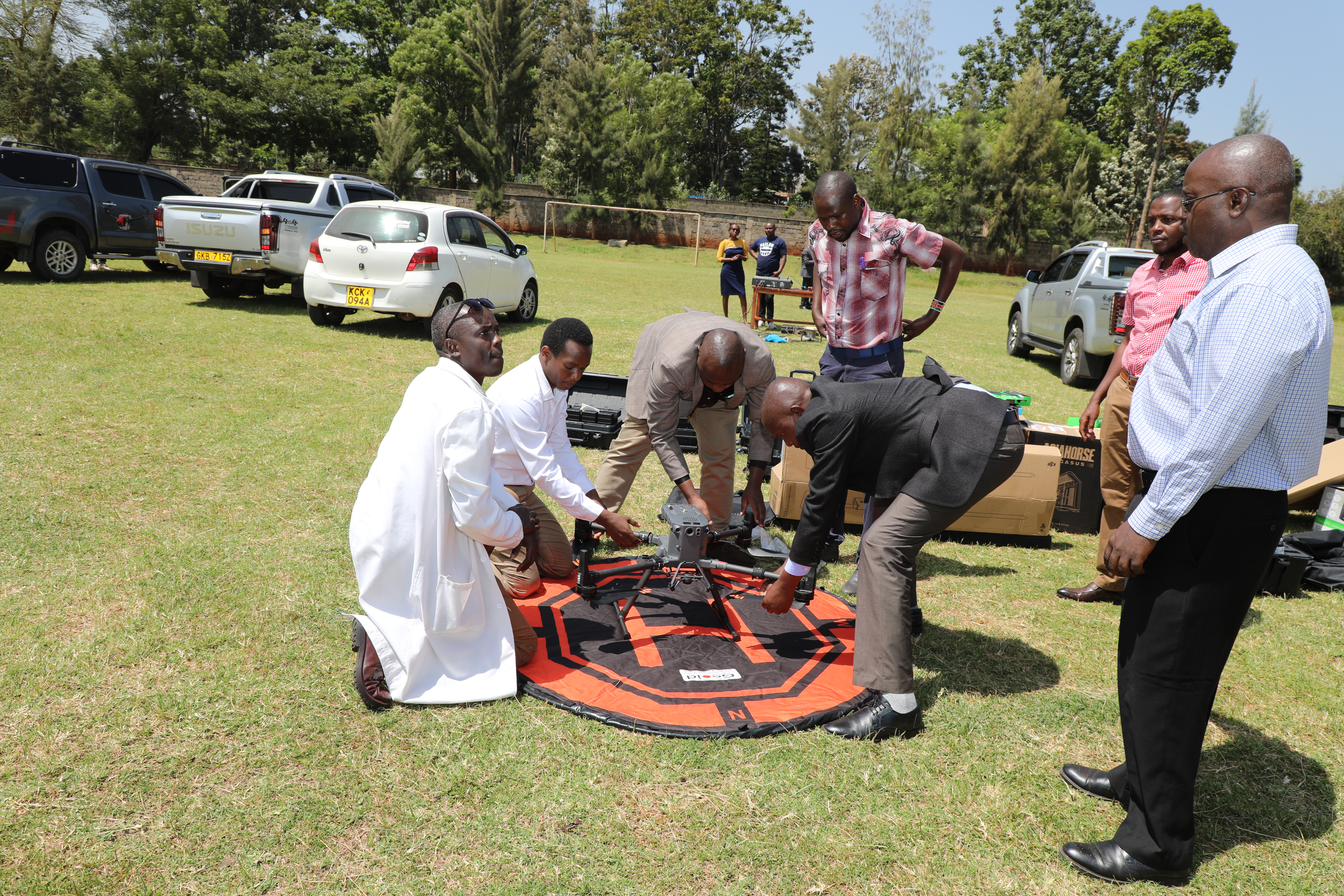
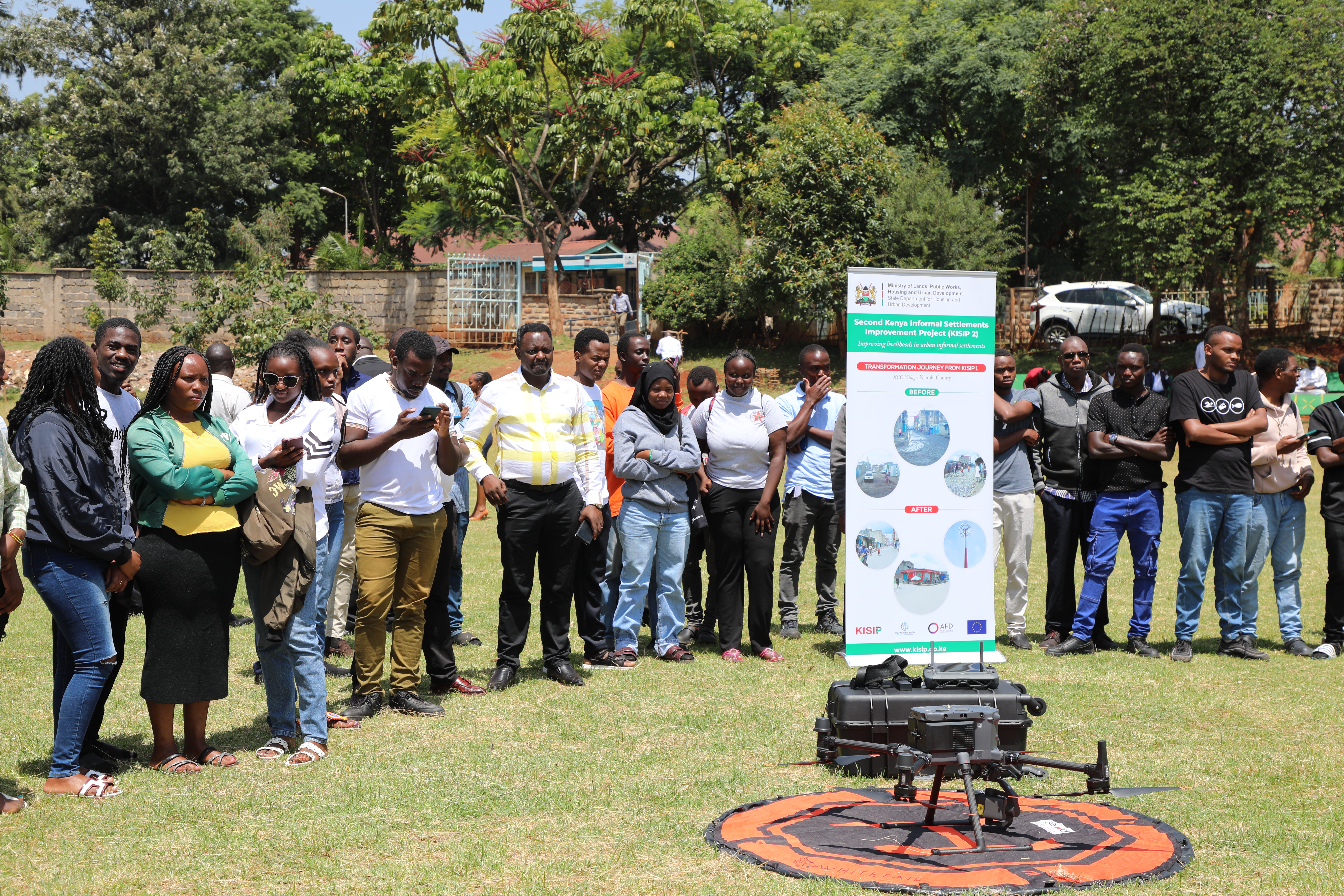
Speaking at the Kenya Institute of Surveying and Mapping in Nairobi’s Ruaraka when he presided over the handing over ceremony of state-of-the-art Matrice RT 350 Series Drones, KISIP2 National Project Coordinator George Arwa noted that the LiDAR Technology Drones “are a significant addition to the tools that will enhance survey and mapping efforts across Kenya.”
“These drones are equipped with cutting-edge technology designed to provide high-accuracy data through their RTK (real-time kinematic) and LiDAR systems.
“The primary goal is to support the Survey Department in efficiently conducting surveys and mapping of the Nation, with a special focus on the informal settlements that KISIP2 is working to improve,” Arwa noted.
The coordinator added that the State Department for Housing and Urban Development has seen tremendous improvement in digitization processes.
“We need to include modern technology into what we are seeing as a vision for this Department,” he challenged those in attendance.
During the ceremony, over 30 students from the Department were also awarded certificates in Drone Aerial Mapping Masterclass for Photogrammetry and LiDAR Mapping. The training which was conducted by Geoid Technologies took close to two months.
As part of the capacity building initiative, 21 other officers from the State Department for Housing and Urban Development also underwent a rigorous remote pilot license training recognized by the Kenya Civil Aviation Authority.
Also present during the ceremony was the Institute’s Director Mr. Weldon Maritim, members of the national project coordination team, including Component 1.1 head Ms. Celestine Wanjala and the Department’s top officials and students.
“I’m proud of what KISIP2 has done and this equipment will be key in getting current information by collecting and analyzing data,” noted Maritim.
The officers have been trained not only in operating the drones but also in processing the imagery and data collected during flights.